
Name the Wainwright Summit
A copy of the activity presented on the website during Lockdown Three
Can you identify which Wainwright it is by following the steps below?
- Examine the three photos clues.
- Make a note of the year(s) below the photos
- Click on the link and go to the Wainwrights page to check which summit you think it is.
- Find the date(s) you noted and check the walks for the photos.
- The answer and the summit photo will go on the website the next day.
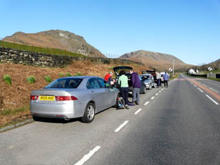
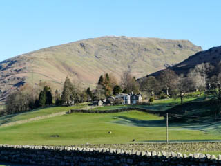

Lay-by an A591 Grasmere, Seat Sandal above Winterseeds, ascending Seat Sandal
Photos taken from a walk in 2009
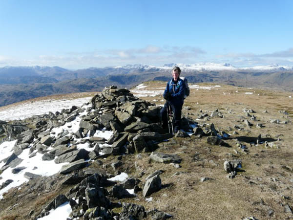
John, Garry, Marie and Robb identified Seat Sandal where the photo was taken on 29th March 2009.
* * * * * * *

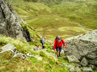
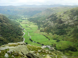
Seathwaite Slabs, scramble up north face, Seathwaite Valley
Photos taken from a walk in 2009
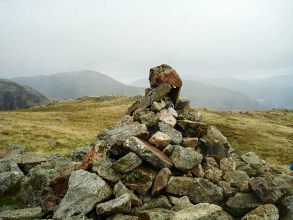
Garry, John and Marie identified Base Brown where the photo was taken on 6th September 2009.
* * * * * * *
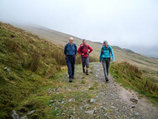
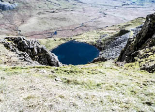
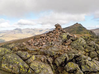
Walna Scar Road, Blind Tarn, Buck Pike with Dow Crag to its right
Photos taken on walks in 2011 and 2017

John and Marie identified Dow Crag where the photo was taken on 2nd April 2017
* * * * * * *

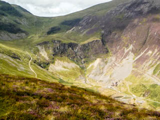
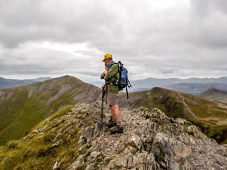
Outerside, Coledale Head & quarry, Hopegill Head looking towards Grisedale Pike
Photos taken from a walk in 2017

Grisedale Pike where the photo was taken on 20th August 2017. The first summit not identified.
* * * * * * *
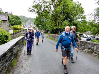
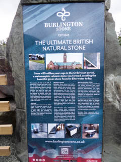

Elterwater Bridge, Quarry, is it a gate or is it a stile - both combined
Photos taken on a walk in 2018
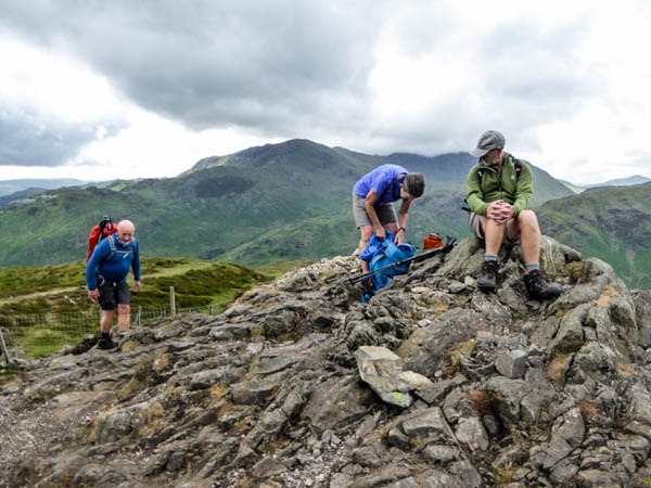
John & Marie identified Lingmoor Fell where the photo was taken on 17th June 2018
* * * * * * *
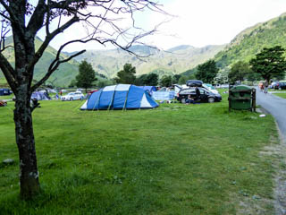
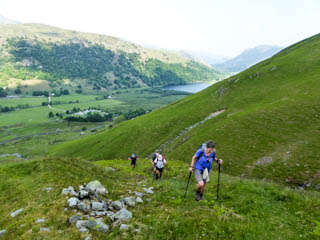

Sykeside campsite, ascending from Kirkstone Pass, disused quarry
Photos taken on a walk in 2016
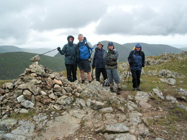
John & Marie identified Stony Cove Pike where the photo was taken on 5th June 2016. Wainwright listed this as Caudale Moor in his guide but named Stone Cove Pike as the summit
* * * * * * *

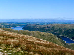
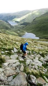
Kentmere Reservoir, Haweswater, descending from Mardale Ill Bell to Harter Fell.
I'm really sorry that I put the wrong year for these photos. It should have been 2015, not 2012, as John identified. Well done John on your deduction skills.
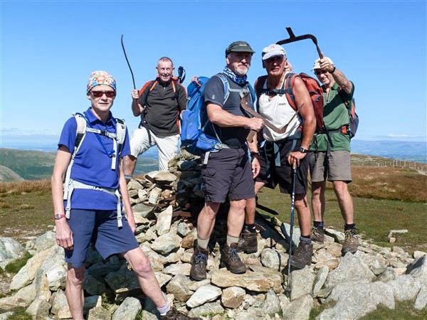
Harter Fell (Mardale) where the photo was taken on 6th September 2015
* * * * * * *
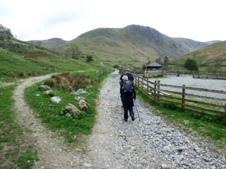

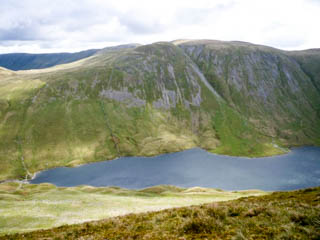
Leaving Hartsop village, Hayeswater Filter House, Hayeswater Tarn (previously reservoir) looking across to The Knott
Photos taken from walks in 2010 and 2016
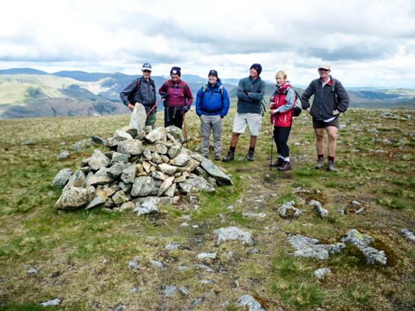
Marie identified Gray Crag where the photo was taken on 30th May 2010
* * * * * * *
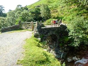
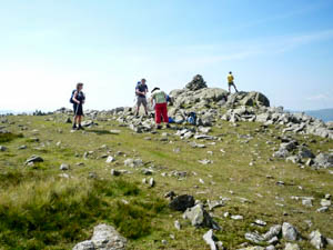

Miners' Bridge, Grey Friar, Levers Water
Photos taken on a walk in 2010

Brim Fell where the photo was taken on 15th August 2010
* * * * * * *
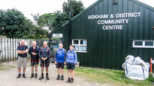
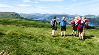
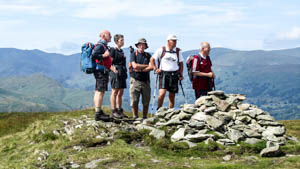
Starting point, Ullswater from Heughscar Hill, Arthur's Pike
Photos taken on a walk in 2016
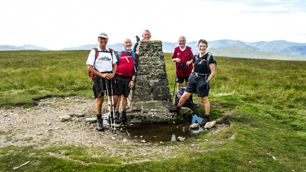
John and Marie identified Loadpot Hill where the photo was taken on 27th July 2016
* * * * * * *
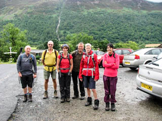
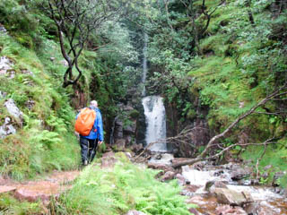
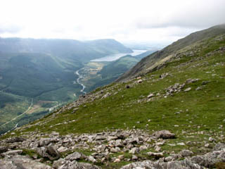
Start from Buttermere, Scale Force, Ennerdale
Photos taken on a walk in 2013
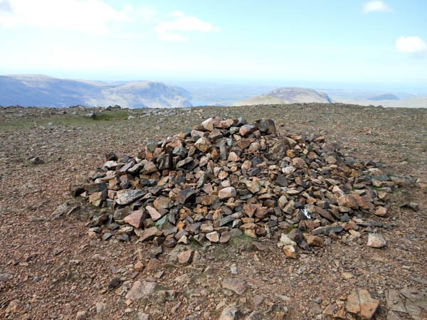
John and Marie identified Red Pike (Buttermere) where the photo was taken on 28th July 2013
* * * * * * *

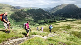
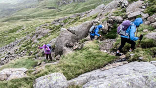
Damaged bridge across Angletarn Beck, looking back down the Deepdale Valley and to Place Fell, ascending to Hart Crag
Photos taken on a walk in 2016
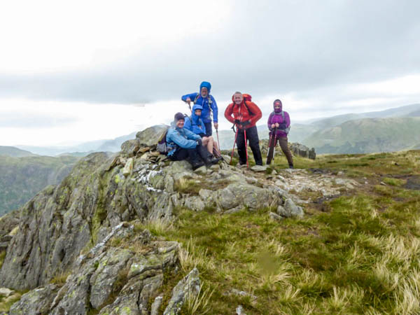
John and Marie identified Little Hart Crag where the photo was taken on 7th August 2016
* * * * * * *
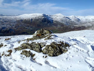
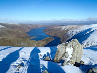
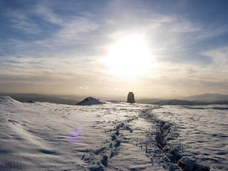
Shipman Knotts looking towards Yoke, Ill Bell and Froswick, Haweswater, approaching Tarn Crag water tower
Photos taken on a walk in 2012
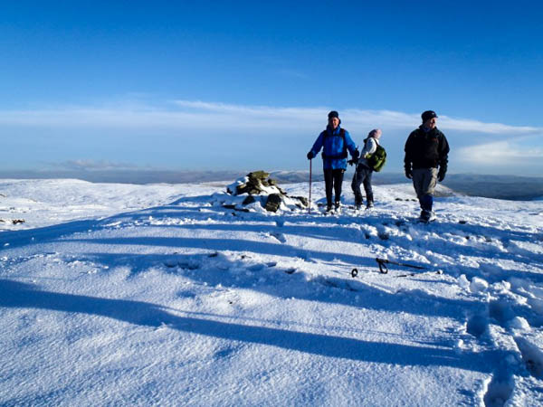
Marie and John identified Tarn Crag where the photo was taken on 4th November 2012. A tough walk in deep snow.
* * * * * * *
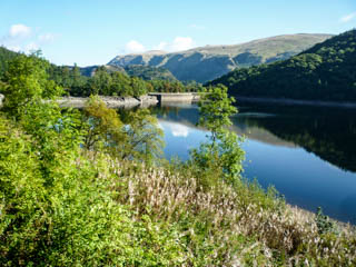
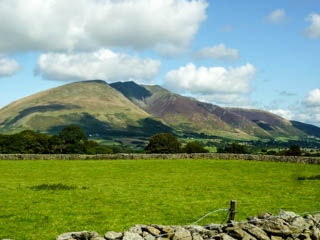
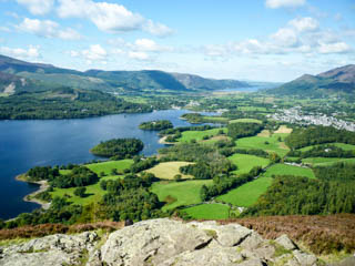
Thirlmere, Blencathra, Derwentwater from near Walla Crag
Photos taken on a walk in 2014
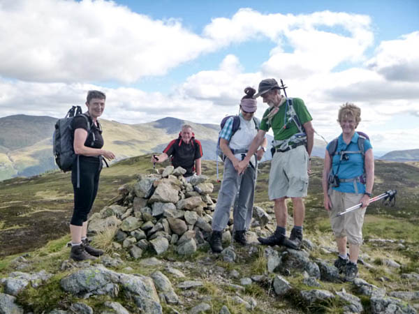
John and Marie identified Bleaberry Fell where the photo was taken on 7th September 2014
* * * * * * *
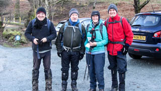
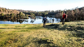
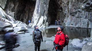
Start at Tarn Hows, Tarn Hows, Cathedral Cavern
Photos taken on a walk in 2018
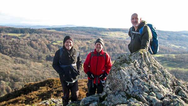
John and Marie identified Holme Fell summit where the photo was taken on 4th February 2018
* * * * * * *

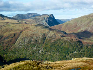
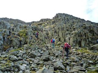
Borrowdale Valley, Honister Crag, 20 foot rock step (quite a scramble)
Photos taken on a walk in 2010
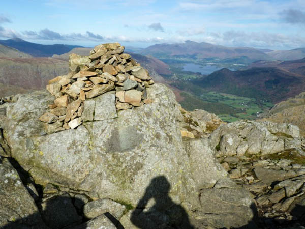
John and Marie identified Glaramara where the photo was taken on 24th October 2010
* * * * * * *
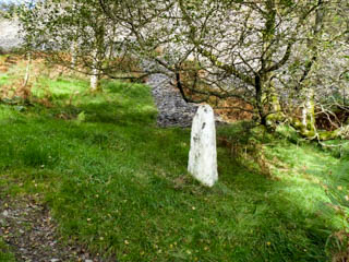

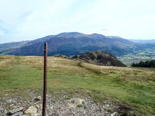
The Clerk, Bassenthwaite Lake, Lord's Seat
Photos taken on a walk in 2012
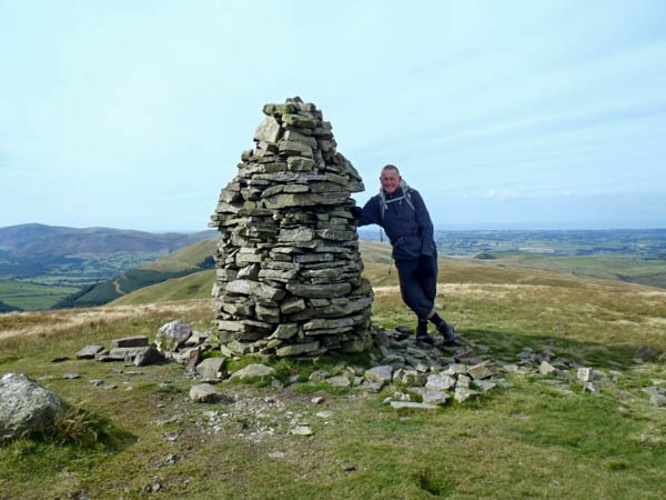
John and Marie identified Broom Fell where the photo was taken on 23rd September 2012.
* * * * * * *
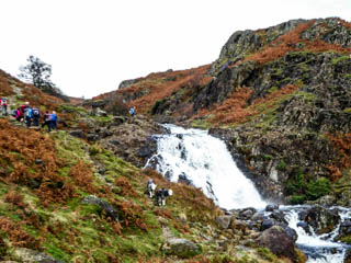
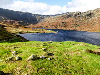
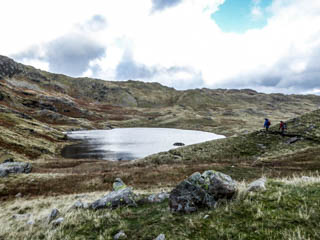
Sour Milk Gill, Easedale Tarn, Codale Tarn
Photos taken on a walk in 2014
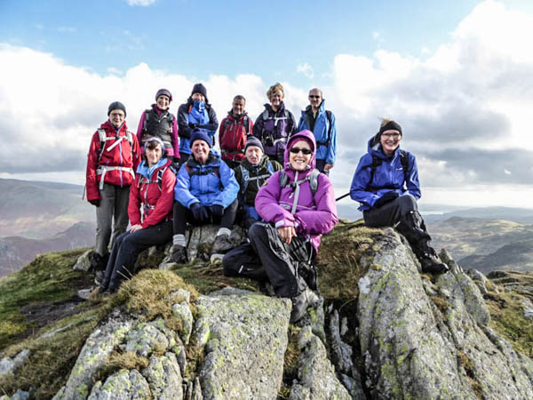
Marie identified Tarn Crag )Easedale) where the photo was taken on 2nd November 2014
* * * * * * *
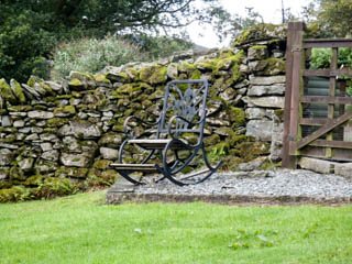

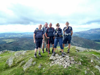
Near start at Rydal, Rydal Water and Windermere, Tony's one time as leader
Photos taken on a walk in 2012
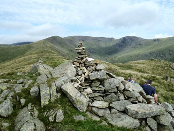
John and Marie identified Heron Pike where the photo was taken on 2nd September 2012
* * * * * * *
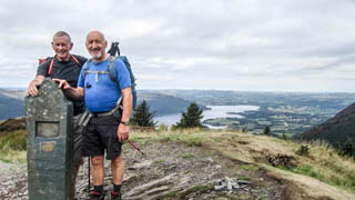
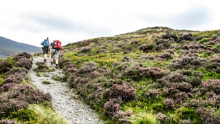
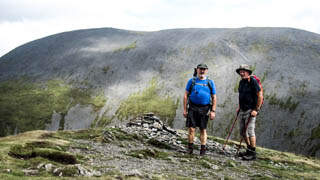
Dodd, ascending the ridge, Longside Edge with Skiddaaw behind
Photos taken on a walk in 2018
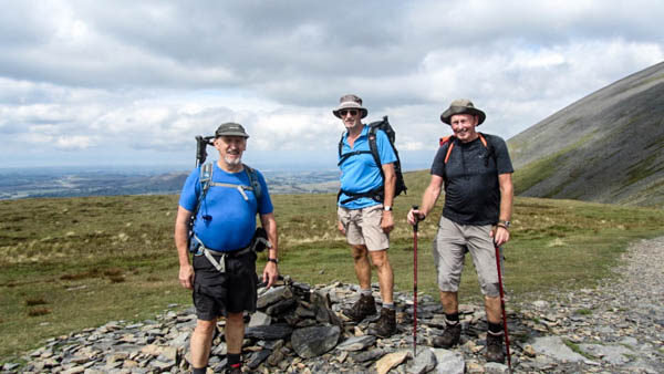
John and Marie identified Carl Side where the photo was taken on 5th August 2018
* * * * * * *
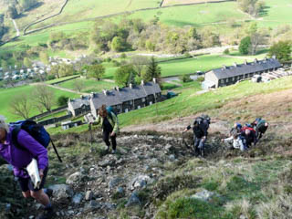
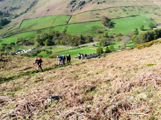
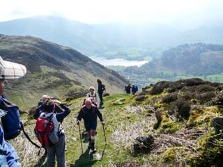
Ascending behind Rake Cottages, nearing the top of the ascent, climbing again with Gleridding Dodd to the left
Photos taken on a walk in 2009
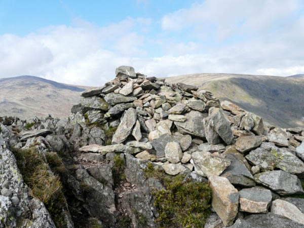
John and Marie identified Sheffield Pike where the photo was taken on 26th April 2009
* * * * * * *
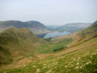
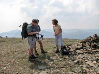
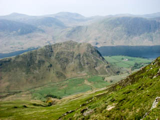
Crummock Water, Grasmoor, Rannerdale Knotts
Photos taken on a walk in 2008

Marie and John identified Whiteless Pike where the photo was taken on 11th May 2008
* * * * * * *
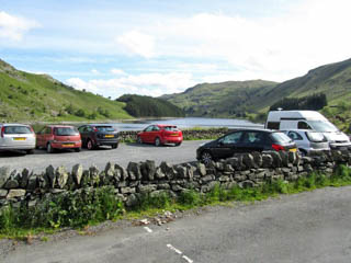
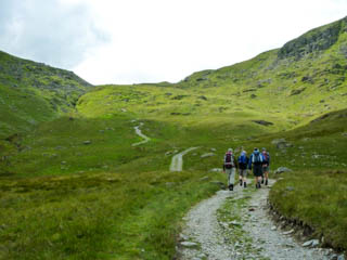
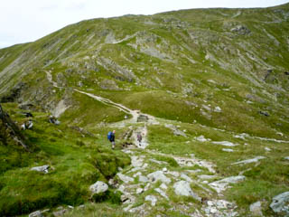
Mardale car park, ascending to Gatecarth Pass, desending to Nan Bield Pass
Photos taken on a walk in 2011
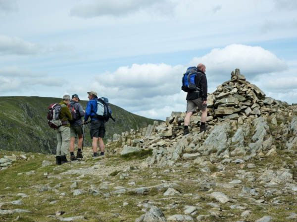
John and Marie identified Mardale Ill Bell where the photo was taken on 12th June 2011
* * * * * * *
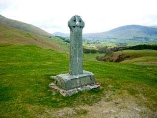
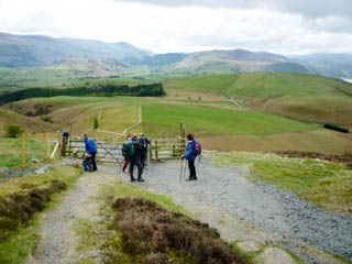
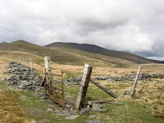
Hawith family monument, looking south towards Latrigg, Skiddaw in the centre with Little Man to the left
Photos taken on a walk in 2010

John and Marie identified Skiddaw Little Man where the photo was taken on 9th May 2010
* * * * * * *

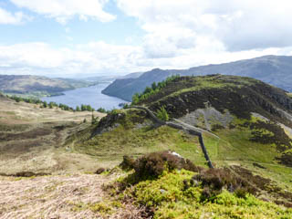
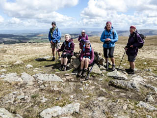
Glencoyne Wood from Glenridding Dodd, Glenridding Dodd and Ullswater, Hart Side
Photos taken on a walk in 2017

Marie and John identified Stybarrow Dodd where the photo was taken on 14th May 2017
* * * * * * *

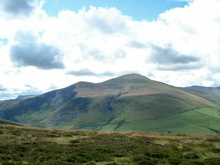
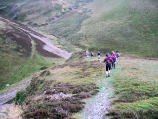
Binsey, Skiddaw and Bakestall, Trusmadoor
Photos taken on a walk in 2009
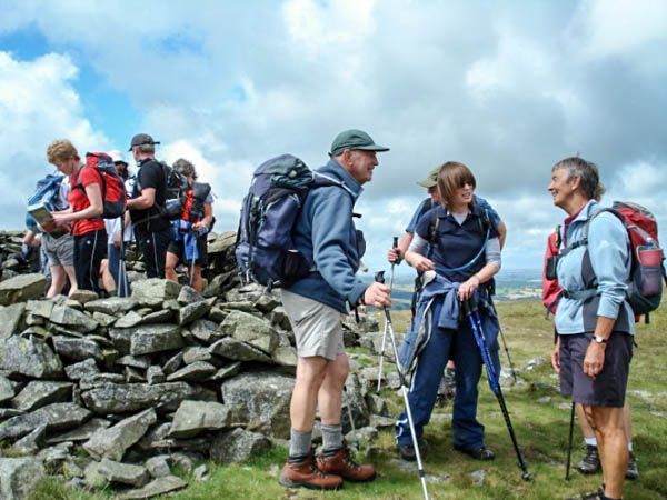
Marie and John identified Meal Fell where the photo was taken on 19th July 2009
* * * * * * *

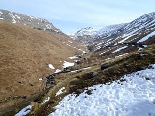
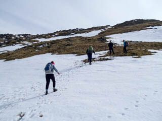
Bridge over Little Tongue Gill, Tongue Gill, snow on Brackenwife Knotts
Photos taken on a walk in 2013

Marie and John identified Great Rigg where the photo was taken on 7th April 2013
* * * * * * *
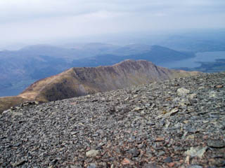
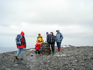

Longside Edge ridge, Skiddaw, northern descent from Skiddaw
Photos taken on a walk in 2008
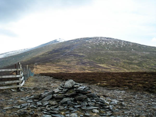
John and Marie identified Bakestall where the photo was taken on 20th April 2008
* * * * * * *


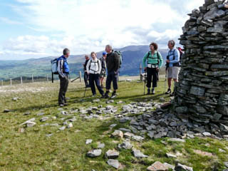
Bishop of Barf, Bassenthwaite Lake, Broom Fell
Photos taken on a walk in 2009
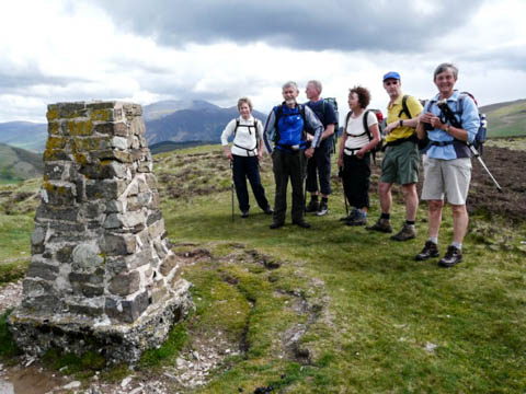
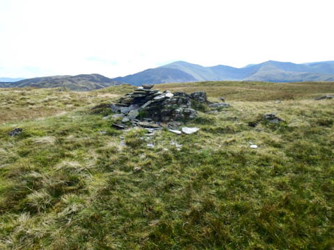
Marie and John worked out that Graystones was the Wainwright summit visited after Broom Fell but as there was no photo I went on to Ling Fell for today's summit. Consequently I have inserted photos for both summits. The Ling Fell photo is taken from the same walk as the first 3 photos, on 10th May 2009 while the Graystones photo is taken from a similar walk on 23rd September 2012
* * * * * * *
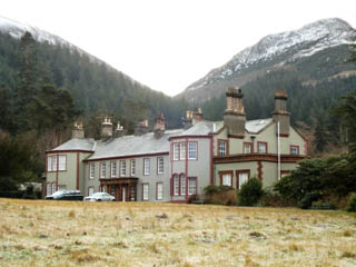
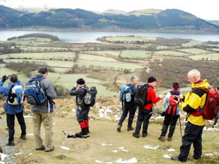
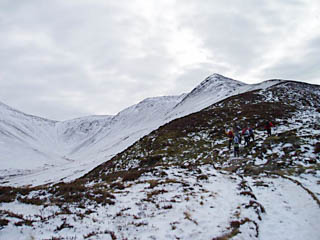
Mire House, Bassenthwaite Lake, Longside Edge ridge
Photos taken on a walk in 2009
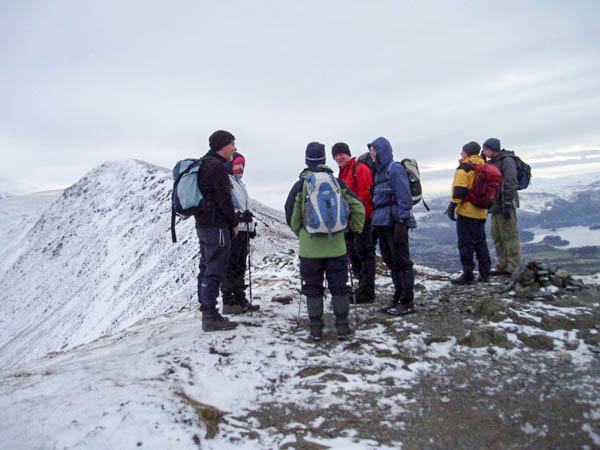
John and Marie identified Ullock Pike where the photo was taken on 8th February 2009
* * * * * * *
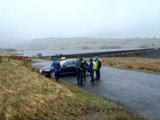
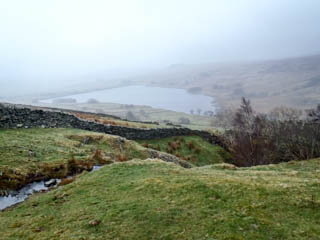
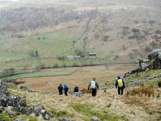
Wet Sledale Reservoir, looking back to reservoir, descending to Swindale
Photos taken on a walk in 2013

Marie and John identified Selside Pike where the photo was taken on 28th April, 2013 - a very wet day!!
* * * * * * *
The photos below, from a walk in 2008, are the last in this series so I have chosen one of our favourite areas and included some extra photos.


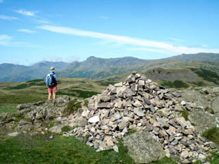
Approaching Swirl How, Grasmere and Rydal Water from Swirl How, Langdale Pikes from Swirl How
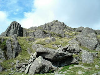
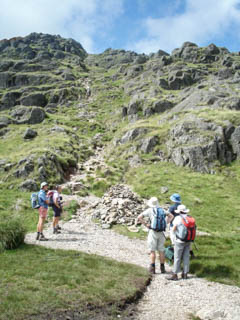
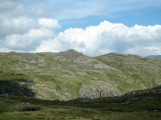
Blea Rigg with the Shelter Stone below, contemplating the climb up North Rake, looking towards Sergeant Man
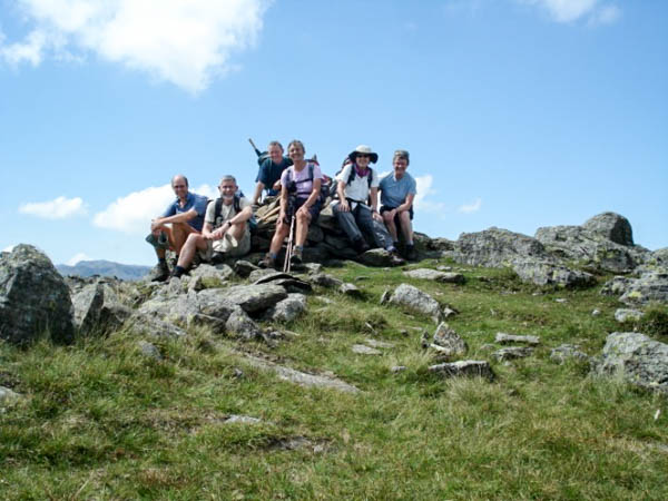
Marie and John identified Thunacar Knott where the photo was taken on 27th July 2008
This brings Activity Five to an end. It has been really interesting to explore past walks to find suitable summits and photo clues and to recall many of the good memories.
Thank you to Marie and John for their daily contributions in identifying the summits. Their knowledge of the Lake District Fells is evident in all their correct answers. Thank you also to Garry for his input in the areas he is familiar with.
For those interested in statistics:
31 summits, 127 photos from 34 walks
A total of 368.6 miles, 112,236 feet, 214.5 hours
Average of 11.7 miles, 3,401 feet, 6.5 hours
Longest walk 14.5 miles
Greatest ascent 4,800 feet
Longest time 8.5 hours
Earliest walk on 20th April 2008
Most recent walk on 5th August 2018